
Kenosha ZIP Directory Coverage
Six postal codes belong in a Kenosha-area ZIP code directory. Four are common City of Kenosha delivery codes. One has a Kenosha postal association that needs live USPS confirmation for precise delivery geography, and one serves Pleasant Prairie rather than the City of Kenosha. This table keeps postal use apart from legal boundaries.
| ZIP | Areas covered | Postal context | Boundary note |
|---|---|---|---|
| 53140 | Central, east, and urban Kenosha examples | Kenosha mailing area | Neighborhood labels remain informal |
| 53141 | Kenosha postal designation | Associated and PO-box use appears in official lists | Check live USPS output |
| 53142 | North, west, and south city examples | Kenosha mailing area | Some edges face Somers and county areas |
| 53143 | South and east city examples | Kenosha mailing area | Confirm parcels near Pleasant Prairie |
| 53144 | North and west Kenosha, Somers-facing area | Kenosha mailing area | Postal city and municipality may differ |
| 53158 | Pleasant Prairie | Kenosha-area postal list | Not City of Kenosha limits |
Official examples place 53140 on 41st Place, 57th Street, and 19th Avenue. The 53142 examples span 87th Street and 39th Avenue, while 53143 examples include 20th Avenue and 76th Street. Examples for 53144 lie on 60th Street, 24th Street, and 88th Avenue. These points show range, not hard neighborhood borders. Always test the full address.
Normalize Kenosha ZIP Addresses
The USPS ZIP Code Lookup is the primary tool for current postal normalization. Use By Address when the street is known, By City & State to list postal codes tied to Kenosha, or Cities by ZIP to see the postal city associated with a known code. USPS warns that a standardized result does not confirm that a person or company is at the address.
| USPS control | Input | Kenosha search use |
|---|---|---|
| By Address | Street plus city/state or ZIP | Standardize a full delivery address |
| By City & State | Kenosha, Wisconsin | List associated postal codes |
| Cities by ZIP | Five-digit ZIP | Check the USPS city association |
| Result | Standard postal form | Postal evidence only, not occupancy |
The USPS lookup screen supplies the postal starting point before county parcels or voter files are consulted.
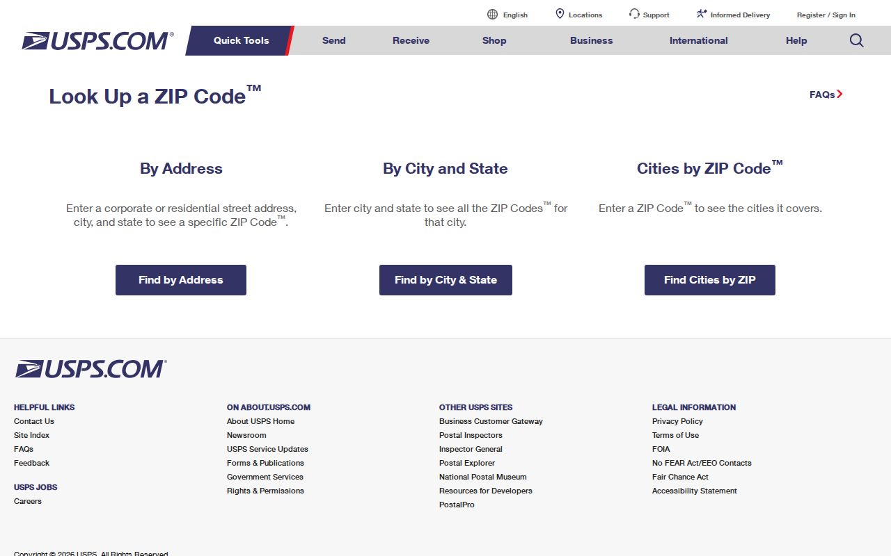
The tool fixes postal form. Kenosha city limits still require a municipal or parcel check.
Map Kenosha ZIP Context
Kenosha County Interactive Mapping opens on parcels and lets a user identify a feature. The documented legacy controls accept House # and Street or Parcel #. After an address is located, preserve its parcel number, situs address, municipality, and postal address as separate values. The GIS result can also give parcel shape and nearby tax pins.
The county cadastral layers include municipalities, parcels, lots, subdivisions, condominiums, easements, rights-of-way, property dimensions, and tax pins. Those layers explain why two nearby homes may share a delivery code while belonging to different legal units. GIS supports a boundary check, but it is not a survey or legal title opinion.
The legacy Kenosha GIS interface shows the address and parcel controls used after a postal code narrows the area.
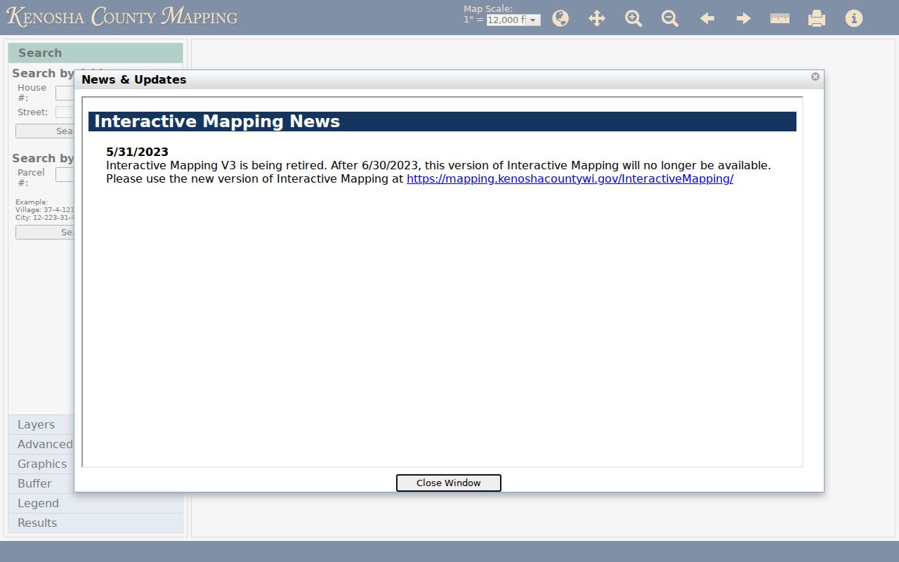
The county map adds parcel and municipality context that a five-digit postal result cannot.
Note: A map pin is a search aid; rely on a filed survey or custodian record when an exact legal boundary matters.
Kenosha Postal City Mismatches
The central Kenosha ZIP code directory rule is simple: postal city and legal municipality are separate facts. ZIP 53158 is associated with Pleasant Prairie, in Kenosha County, but it is not inside City of Kenosha limits. ZIP 53144 includes Kenosha and Somers-facing postal contexts. Edges of 53142 also face Somers and county areas, while 53143 searches near Pleasant Prairie need a parcel check.
Use three columns in research notes: postal ZIP, legal municipality, and county or tax jurisdiction. An entry might read “53158 | Pleasant Prairie | Kenosha County.” This prevents a postal association from becoming a false city-residence claim. It also sends requests to the right address authority. City of Kenosha addresses are handled by Neighborhood Services and Building Inspection, while township address assignments are handled by County Land Information.
Boundary check. A Kenosha mailing label can reach beyond city limits. Confirm the parcel municipality before describing an address as City of Kenosha.
Find Kenosha Residents by ZIP
A ZIP-wide search is a narrowing method, not proof of residence. The county Property Inquiry guide begins with an address, common location, or parcel number, not a ZIP filter. The GIS viewer also begins with House # and Street or Parcel #. Badger Voters can be ordered by county, municipality, district, status, and election filters; its standard file includes residential ZIP as a returned field.
- Confirm the code. Normalize the full address in USPS and retain the exact unit, city, state, and ZIP.
- Check the municipality. Find the address or parcel in Kenosha County GIS and record the municipal and tax-jurisdiction fields.
- Use the proper roll. Search Property Inquiry by address, or request lawful voter data with municipality and district filters.
- Reduce to a street. Once the ZIP is narrowed, use the Kenosha street directory for address-level work.
- Date the result. Keep the search date and source record date so a later change is not missed.
The ZIP code directory therefore organizes geography. It does not replace a custodian's record or show who received a particular piece of mail. Exact addresses and unit numbers should remain attached to the result.
Read Kenosha Street Grid
Kenosha's grid helps catch a bad address before a search begins. City code geography describes avenues as north to south and streets as east to west, with courts and places between main lines. Under the county's 100-number-per-block explanation, an address such as 6400 25th Avenue points roughly to the relationship between 25th Avenue and 64th Street. That arithmetic is a hint. Confirm the parcel in GIS.
The grid also carries history. During the 1926–27 renumbering, named streets became numbered streets. Strong became 65th Street, Washington became 4th Avenue, Superior became 28th Avenue, West Market became 56th Street, and Wisconsin became 58th Street. An old directory address may appear outside the expected ZIP until its former name is converted. Preserve both forms.
Compare Kenosha ZIP Edges
Broad local labels help orient a ZIP search, but they are not record boundaries. Downtown Kenosha, Uptown Kenosha, and West of I-94 appear as regional labels in local visitor material. A resident record should still carry the exact street, five-digit code, municipality, and parcel jurisdiction. That is especially true west and north of the urban core, where 53142 and 53144 examples span wide parts of the Kenosha mailing area and meet Somers-facing or county contexts.
On the south side, 53143 is a City of Kenosha mailing area, yet parcels near Pleasant Prairie deserve a municipal check. Farther south, 53158 should remain labeled Pleasant Prairie even though it is part of the broader Kenosha County area. The difference affects which clerk, address authority, permit system, and local roll may hold a record. It also prevents a search result from assigning a person to the wrong city solely because the county name is Kenosha.
A useful worksheet keeps four fields: the USPS result, the parcel's situs address, the legal municipality shown by county mapping, and the office that controls the desired record. If one field conflicts with another, retain both source values and ask the custodian which is current. Do not “correct” an old directory or deed to a modern postal form without noting the change.
Verify Kenosha ZIP 53141
Official postal lists associate 53141 with Kenosha and indicate PO-box or related use, but the research did not locate a static authoritative source that defines its exact current delivery geography. Do not invent a neighborhood boundary. Run the live USPS Cities by ZIP mode, then check any full street address through By Address.
If a 53141 result is only a post-office box, it cannot be placed on a residential parcel map without another source. A PO box is a delivery receptacle at a postal facility. It is not a street location. Record it as mailing information and keep any separately verified situs address in another field. This prevents a postal clue from becoming an unsupported statement about where someone lives.
Note: Current live USPS output controls the 53141 answer because the available static material does not resolve its delivery boundary.
Kenosha Voter ZIP Filters
Badger Voters is the Wisconsin Elections Commission channel for public voter files. Requests can use county, municipality, supervisory district, ward, school district, legislative district, status, election, and other jurisdiction fields. The standard CSV includes residential street, city, state, ZIP, house number, street name, unit, ward, and district combinations. That makes ZIP useful after lawful acquisition, though the order screen is built around political and municipal filters.
The base charge is $25 plus $5 per 1,000 voter-registration records under the published formula, capped at $12,500. Quantity-only statistics are free. Confidential electors and protected voters are excluded. The data omits dates of birth, driver-license numbers, Social Security numbers, party preference, demographic fields, and ballot content. Never treat a missing person as proof of nonresidence.
Kenosha ZIP Boundary Terms
Postal terms describe how mail is routed. They do not replace parcel, municipal, or resident records. Keep each term beside its source and access date because postal assignments can change while older deeds and directories retain the form used when the record was made.
- ZIP code
- A five-digit USPS delivery-area code, not a city-limit boundary.
- ZIP+4
- A five-digit ZIP plus four digits that refine a delivery segment.
- PO-box ZIP
- A code used for boxes at a postal facility rather than street delivery.
- Unique ZIP
- A code assigned to one large organization or destination; none is claimed for Kenosha here.
- Carrier route
- A group of delivery addresses served along a postal carrier's route.
A ZIP narrows a place but does not identify a resident. USPS does not confirm a person at an address. Property Inquiry gives ownership and tax context, yet ownership does not prove occupancy. GIS identifies a parcel and municipality but cannot settle title. Preserve the full address, unit, legal municipality, county, parcel key, source, and date when available.