
Kenosha Previous Resident Eras
No single index spans the full life of a Kenosha home. Current parcel data supplies the modern address, tax key, ownership display, and map geometry. Recorded instruments carry the ownership chain farther back. City directories add the names of people and firms linked to an address, while census, church, cemetery, court, and vital records help with the earliest period. The source mix changes by date, so the first useful step is to choose the closest era below.
| Source | Years It Covers | Where Held | What It Shows |
|---|---|---|---|
| Deeds and related instruments | 1850 to current, with online limits not stated | Kenosha County Register of Deeds and LandShark | Owners, instrument type, dates, legal description |
| City and reverse directories | 1858 to 2007, with listed gaps | UW-Parkside, KPL, History Center | Named occupants, firms, phones, street entries |
| Federal census | Public schedules through 1950 | National Archives and library databases | Households within federal enumeration geography |
| Maps and plats | 1835 to 1985 maps; 1858 to 1934 plats | Kenosha History Center and Library of Congress | Lots, footprints, land use, nearby features |
| Newspapers and obituaries | 1845 onward in several local runs | History Center and KPL | Address dates, family links, notices, life events |
For a recent trail, start with Kenosha County Property Inquiry, then use the deed link or LandShark. For a mid-century address, begin with a directory year near the target date and confirm it with a deed or newspaper. Before 1850, also check Racine County and territorial sources because Kenosha County had not yet separated from Racine.
Start With a Kenosha Parcel
Enter the street number and name in Property Inquiry. The county's documented interface accepts a parcel number, property address, or common location, but it does not permit an owner-name search because of privacy concerns. Save the parcel key, situs address, mailing address, ownership display, legal description, and any link to recorded documents. A situs address is the physical parcel location. A mailing address is where tax mail goes, and the two may differ.
The parcel is the stable join between systems. Open Kenosha County Interactive Mapping to confirm the municipality, lot geometry, and nearby parcels. The map may also show subdivisions, certified survey maps, easements, and rights-of-way. A parcel summary is still not a complete title file, so preserve the query date and verify ownership against the latest deed.
See the county Property Inquiry entry point before beginning the backward search. It is the address-first gateway to the present parcel, not proof of every past occupant.
Walk Kenosha Deeds Backward
The Kenosha County Register of Deeds keeps recorded real-estate instruments. A chain of title is the linked sequence of deeds that transferred the same land. Start with the current parcel, open the newest instrument, and compare its legal description with the parcel. The legal description identifies land by lot, plat, survey, or metes and bounds, so it remains useful when a street address changes.
- Copy the current parcel key, situs address, owner display, and legal description.
- Find the deed that placed title in the current grantee's name. Record the instrument number, date, document type, grantor, and prior reference.
- Search that grantor as an earlier grantee. Match the legal description before accepting the link.
- Repeat the sequence. Label mortgages, satisfactions, liens, easements, and transfer-on-death instruments correctly.
- Ask the Register of Deeds about office or archive access when the online trail ends. Official materials do not state one historical online cutoff.
- Grantor
- The party giving or transferring an interest in the land.
- Grantee
- The party receiving the interest shown by the instrument.
- Chain of title
- The ordered deed links for the same parcel.
- Legal description
- The formal land description used to match a parcel despite address changes.
A paid-off mortgage usually produces a satisfaction, not a new ownership deed. A bank named in a mortgage is not automatically a past resident or owner. Read the instrument type first.
Open the LandShark recorded-document search to inspect the grantor and grantee trail.
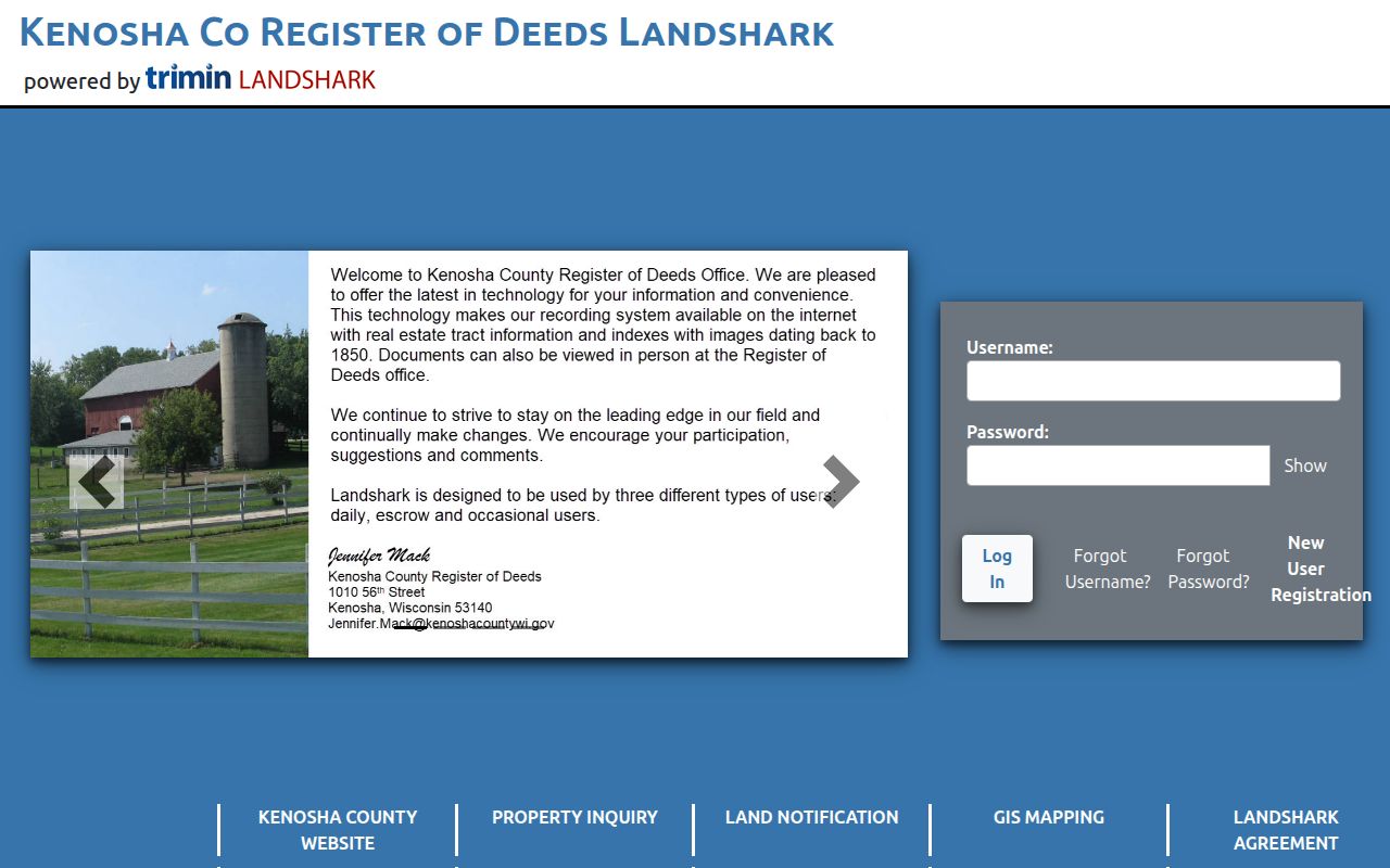
The portal provides a starting point, while an account or payment may apply to searches and document images.
Kenosha's 1927 Address Bridge
Kenosha's street renumbering can break a sound search. The official 1927 section pairs old names and numbers with the new grid. Strong Street became 65th Street, Warren Avenue became 24th Avenue, Washington Street became 4th Avenue, and Wisconsin Street became 58th Street. Other conversions include Superior Street to 28th Avenue and West Market Street to 56th Street.
Never infer the conversion from grid math alone. Check the scan, record both forms, and retain its page. One printed line identifies Third Avenue as formerly Durkee Avenue. The same section can place people or firms near the converted number. This Kenosha crosswalk is often the missing join between an old newspaper notice and a modern parcel.
Note: Record the old street, old number, new street, new number, page, and confidence before continuing to another source.
Map Earlier Kenosha Buildings
A deed follows title, but it may not explain why a modern parcel looks unlike its older address. The Library of Congress 1918 Kenosha Sanborn set contains 64 sheets. Each can show an intersection, building footprint, use notation, and nearby features. A present parcel may once have held a different structure, several lots, or a business use.
Pair the Sanborn sheet with Kenosha County plats, surveys, or the legal description. The county's survey repository can clarify a lot split or changed boundary, though the county warns that not every survey was filed. A missing survey means only that one was not located. Sanborn maps give visual context; they do not transfer title.
Match Kenosha Past Households
Owners are only half the trail. A reverse or criss-cross directory begins with an address and returns the printed occupant or subscriber. Kenosha directory runs span 1858 through 2007, but there are large early gaps, odd-year volumes from 1921 through 1947, and no listed 2004 edition. A missing name in a missing volume proves nothing. The collections and year runs are covered in depth on the Kenosha city directory page.
Use the street section near the target date, then check the alphabetical entry. Record names exactly as printed, including initials and spelling. Compare that result with the closest public federal census schedule. A census is a ten-year household snapshot, while a directory is a commercial annual or biannual listing. Neither should be treated as a deed.
- Choose the closest available directory year and save the address, name, page, and neighboring entries.
- Apply the 1927 crosswalk if the street name or number differs.
- Check the nearest census year and note its enumeration area and household members.
- Test the names in deeds, newspapers, cemetery files, probate indexes, or church records.
At the Kenosha History Center archives, appointments can bring together city directories, newspapers, obituaries, maps, family histories, and plat maps. Prepare an address, date range, and record type before calling 262-654-5770 ext. 4 or emailing archives@kenoshahistorycenter.org.
Review Kenosha Public Library scanning and copying access for newspaper and microfilm work.
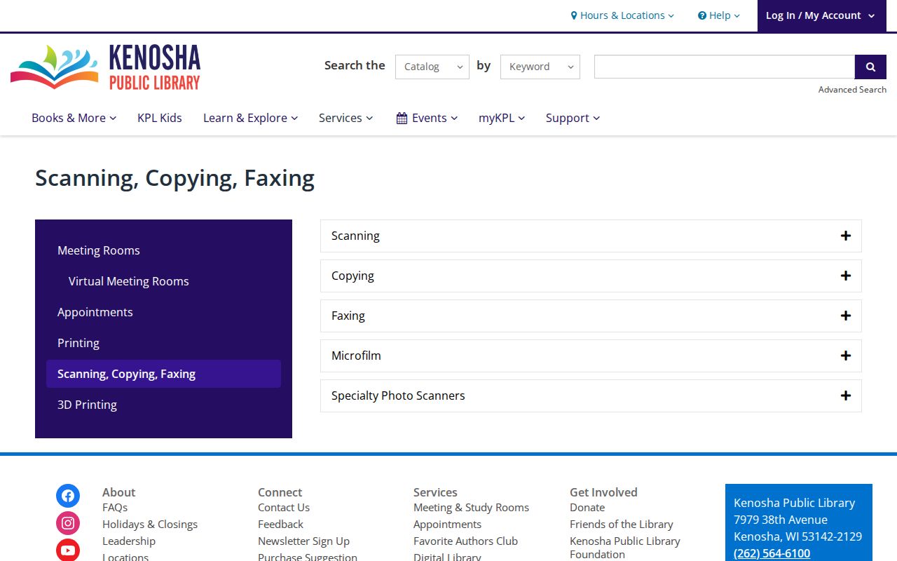
KPL can provide the image or page evidence that connects a directory name with a dated local event.
Lawful use. Research previous residents for house history, family history, or personal curiosity. Never use an address trail to watch, harass, intimidate, or harm a living person.
Grade Kenosha Resident Evidence
Keep a contradiction log. One row should hold the source date, original address, normalized address, name as printed, role, parcel key, legal description, instrument number, directory page, map sheet, and confidence. Mark a person as owner only when a deed or equivalent title record supports that role. Mark a directory name as an occupant or subscriber unless another source proves more.
Two independent source types make a stronger match. A directory and census may support occupancy. A deed and parcel card may support ownership. A newspaper death notice, cemetery record, and probate file can carry the household story forward after someone left the address. When evidence conflicts, preserve both versions instead of choosing the more convenient one.
Note: A mailing address, deed grantee, tax-card owner, directory occupant, and census household are related facts, not interchangeable identities.
Monitor Kenosha Property Records
Kenosha County expanded its free Land Notification service in 2025. A user can set email or text alerts for newly recorded documents tied to a property or containing a name. For a house-history project, first establish the current parcel and legal description, then monitor the property instead of a common surname. That choice produces a more precise stream of notices.
Kenosha County Land Notification is an awareness tool, not a title opinion and not a substitute for opening the actual LandShark instrument. When an alert arrives, record its date and document reference, then inspect the instrument type. A mortgage, lien, satisfaction, or easement may concern the parcel without changing its resident or owner.