
Kenosha Neighbor Sources by Block
Official records answer narrow questions about a Kenosha block. Interactive Mapping establishes parcel geometry and adjacency. Property Inquiry adds the ownership display, tax mailing address, assessment, and building data. A voter tool serves an individual's own registration check, while public voter files have a separate paid request route and exclude protected records. Community groups explain local geography, but they are not household rolls.
| Source | Block facts returned | How to access it |
|---|---|---|
| Kenosha Interactive Mapping | Parcel edges, tax pins, lots, nearby parcel IDs, municipality | Free county viewer |
| Property Inquiry | Ownership display, situs and mailing address, tax and building data | Address or parcel search |
| Badger Voters | Permitted voter-file fields by jurisdiction, subject to exclusions | Account, estimate, payment, CSV |
| Neighborhood groups | Plan geography, public contacts, civic context | Public pages; no private rosters |
| Directories and maps | Older occupants, firms, addresses, and block form | Library and archives |
Owner and occupant are not synonyms. A tax mailing address may differ from the situs, or physical, address. Renters and other household members may never appear on a parcel card. Use each record only for the fact it states.
Define Your Kenosha Neighbors
Choose a spatial rule before collecting names. Shared-boundary neighbors touch the target parcel. Opposite-frontage neighbors face it across the street. Rear neighbors touch the back line. A same-block list follows the street and parcel pattern, while a radius includes each selected feature within a set distance. Write that rule above the list so another reader can reproduce it.
Kenosha GIS separates parcels, lots, subdivisions, certified survey maps, condominiums, easements, rights-of-way, tax pins, and municipalities. Those layers matter. Two homes may look close while a right-of-way or separate parcel lies between them. Save the layer and query date because map data changes.
Note: A visible home is not always an adjacent parcel, and every parcel in a wide radius is not automatically a neighbor.
Map Kenosha Neighbors by Parcel
Use Kenosha County Interactive Mapping as the visual base. The current viewer defaults to parcels and identifies a clicked feature. The legacy interface documents House #, Street, and Parcel # fields. It also supports a buffer: choose the source layer, choose the result layer, enter a distance in feet, select the feature, and start the buffer.
- Search the target number and street. Confirm the municipality, situs address, and parcel key.
- Click parcels sharing a boundary, across the frontage, and behind the lot. Save each parcel ID and relationship.
- Open Property Inquiry by address or parcel. Keep ownership and tax mailing fields apart from the physical address.
- Use a small buffer only when the question calls for a radius. Record its distance and layers.
- Compare the map count with the list. Large buffers are capped at 1,000 listed results and may not match all visible features.
The flow is address to parcel to adjacent parcel IDs to the Property Inquiry owner display. For an entire road, use the Kenosha street directory workflow.
View the documented Kenosha GIS controls for address, parcel, and buffer fields.
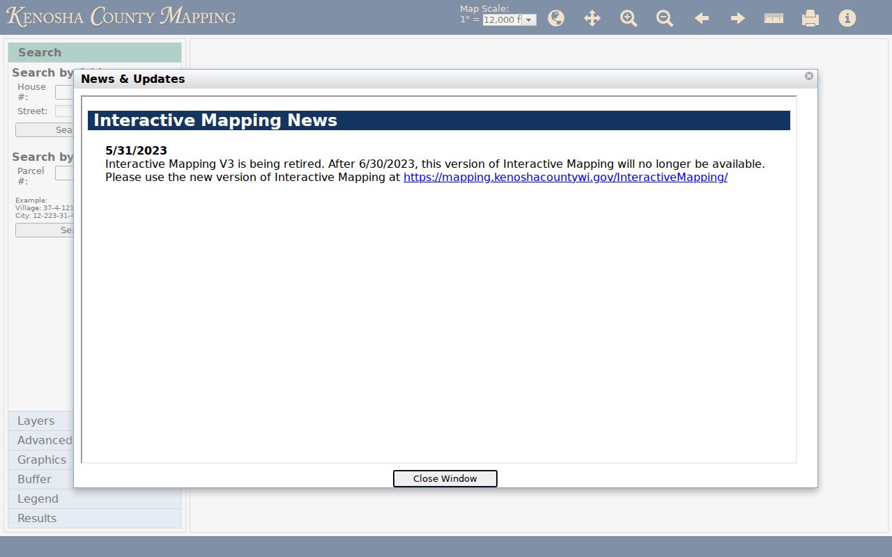
The parcel view supports a repeatable block list when each clicked parcel and spatial relationship is recorded.
Read Kenosha Block Layers
Parcel lines are only the first layer. The county cadastral service includes dimensions, easements, rights-of-way, lots, subdivisions, condominiums, certified survey maps, and municipal borders. A certified survey map, or CSM, records a land division or survey arrangement. An easement is a limited right to use part of land. A right-of-way often carries a road or utility route.
These layers can explain why a nearby address does not match the visible street pattern. They also prevent a postal label from being mistaken for legal jurisdiction. Keep ZIP, municipality, and county tax context in separate fields. Kenosha-area mail can cross city, village, or township edges.
Kenosha Neighborhood Contacts
Neighborhood labels describe community or planning areas, not parcel ownership. City plans name Hillcrest, St. Peter's, South Sheridan, Washington Park, Wilson Heights, Columbus Park, Downtown, Lincoln, Pike Creek, and Library Park. Visit Kenosha uses Downtown, Uptown, and West of I-94 as broad regional labels. Check legal lines in the parcel map.
Leona's Rolling Meadows HOA
Official HOA communication page
6465 87th Avenue, Kenosha, WI 53142
The contact form is public; submitted details are not.
Kenosha Community Labels
Downtown, Uptown, and West of I-94
Regional context, not legal borders or a resident roster.
Innovation Neighborhood
Kenosha Innovation Neighborhood
A 107-acre redevelopment area, not a household list.
A public contact can route a civic question, but it does not grant access to a private membership list. Do not copy board members' personal data or information sent through a form.
See the Leona's Rolling Meadows HOA contact page for the local example.
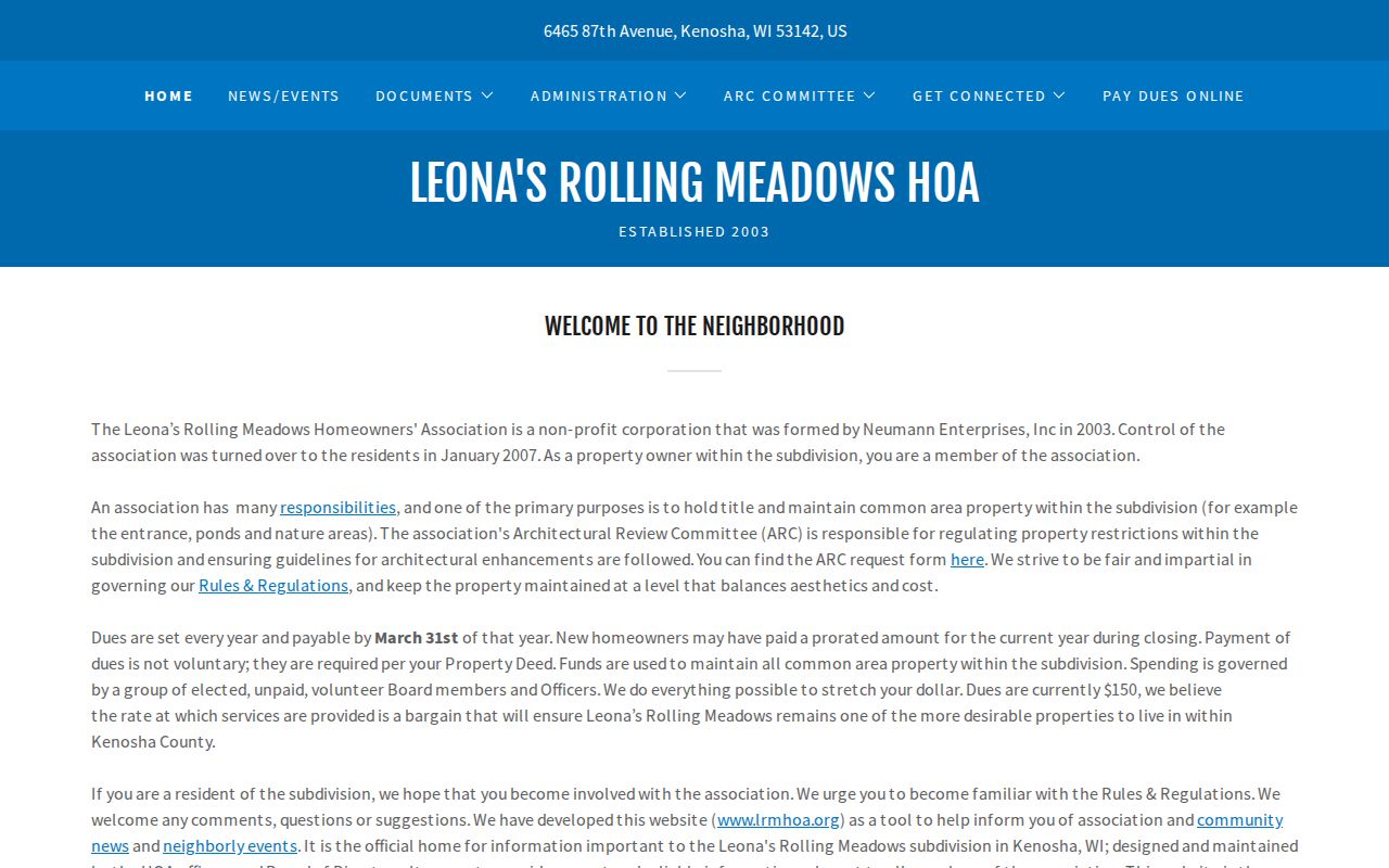
The page offers an official communication route while keeping submitted household information private.
Rebuild Past Kenosha Neighbors
A historical block needs more than today's map. Begin with a city directory street section, then compare a plat or survey and the 1918 Sanborn fire-insurance maps. Directory runs from 1858 through 2007 contain gaps. Kenosha's 1927 renumbering also changed named streets to numbered streets. Keep both forms of the address.
The Library of Congress Sanborn set has 64 Kenosha sheets. A sheet can show building footprints, intersections, use notes, and nearby features. Pair it with directory names from the same period. If land was split, joined, or renumbered, rely on lot lines and legal descriptions rather than house number alone.
Map tip. A current parcel, a street-section directory, a Sanborn sheet, and a plat test one block from four independent angles.
Compare Kenosha Neighbor Tools
Official rolls and commercial neighbor tools serve different roles. An official source usually states its custodian, field meaning, and update context. A compiled result may merge records from several dates without showing which office supplied each fact. Neither type should be used to infer a protected location.
| Source type | Supported use | Main limit |
|---|---|---|
| County parcel systems | Geometry and ownership display | Owner may not occupy the address |
| Official voter channels | Authorized checks or permitted files | Protected voters excluded; ballots private |
| Association pages | Public contacts and civic geography | Not a resident roster |
| Commercial compiled tools | A lead for later official confirmation | Dates, matches, and sources may be unclear |
For Wisconsin voter data, Badger Voters uses an account, estimate, payment, and download process. Its files exclude confidential electors and protected voters. MyVote is best treated as a voter-specific verification service, not an open block directory.
Kenosha Neighbor Voter Context
Wisconsin draws a firm line between voter participation data and ballot choices. A standard voter file can contain a registration number, name, residential and mailing address fields, jurisdiction, ward, districts, status, and election-participation fields. It does not reveal how anyone voted. Phone or email may appear only when supplied in registration and when the record is not excluded by a protection.
For block work, define the permitted jurisdiction and address fields before ordering data. Badger Voters offers county, municipality, ward, aldermanic, school, legislative, and other district filters. It provides an estimate, takes payment by card or electronic check, and makes the file available as a CSV download. The access channel is useful for a lawful civic study, but it is far more data than most neighbor questions need.
MyVote uses first name, last name, and birth date for a name search, or street address, optional unit, city, and ZIP for an address search. Its result functions concern the voter's own registration, districts, election participation, and ballot tracking. Do not turn an identity-confirmation form into a claim about every person at an address.
Note: Registration at an address does not prove present occupancy, ownership, household membership, or a person's vote in any contest.
Kenosha Neighbors Beyond ZIP Lines
A ZIP code is a delivery designation, not a neighborhood boundary. Kenosha-area postal use includes 53140 through 53144, while 53158 serves Pleasant Prairie. Some edges face Somers or other county jurisdictions. Keep three columns in a working block list: postal ZIP, legal municipality, and county or tax jurisdiction. The parcel map, not the mailing label, settles the municipal context.
Broad local labels can still help organize a search. Downtown, Uptown, and West of I-94 are useful regional terms, while named city planning areas provide a finer civic frame. Neither changes parcel adjacency. If a target sits close to a border, click the Municipality layer and record the result for each parcel rather than applying the target's city name to the full radius.
This distinction also matters in old records. A directory may organize a block under one street name while a later postal record uses a numbered road. A modern ZIP cannot repair that mismatch. Use the 1927 old-and-new street crosswalk, directory year, and parcel geometry together.
Protect Kenosha Neighbors' Privacy
Wisconsin Public Records Law favors access but applies statutory exceptions, common-law limits, and a balancing test. Safe at Home gives eligible participants a substitute address and mail forwarding. Confidential elector status removes an actual address from public roll and poll-book views. A missing result can reflect a safety protection.
Do not use another source to infer or publish a hidden address. Parcel records also do not list each renter or household member. Utility, delivery, full birth-date, driver-license, Social Security, banking, and private association data do not belong in a Kenosha neighbor list.
Lawful use. Use Kenosha neighbor records for civic curiosity, reconnection, and personal safety awareness. Never watch, harass, intimidate, or harm anyone.