
Walk a Kenosha Street by Address
A reliable Kenosha street directory search separates ownership, occupancy, and mailing evidence. The county tax roll displays an owner and parcel data, while the recorded deed establishes the ownership chain. A historical directory can name an occupant or business at an address. None alone proves every person who lived there. Start with the modern address and save each identifying field before moving to the next system.
- Enter the house number and street in Kenosha County Property Inquiry. Save the parcel key, situs address, municipality, ownership display, and mailing address.
- Open Kenosha Interactive Mapping. Confirm the parcel shape and identify the lots beside, behind, and across from it.
- Follow the recorded-document path into LandShark. Match the legal description and instrument type before treating a name as an owner.
- For permit or code history, use the City request form or county eTRAKiT route that matches the parcel's municipality.
- For an older household, translate any old street name and check the nearest directory year by both surname and street.
This sequence turns an address into a documented chain. It also exposes contradictions early, such as a mailing destination outside Kenosha or an old house number that no longer matches the present grid.
Write down the source of every name. “Property owner,” “directory occupant,” and “permit contact” are useful labels because they prevent a loose address match from becoming an unsupported claim about residence.
Search Kenosha Property by Street
The county's Property Inquiry is the main present-day address tool. Its documented interface accepts a parcel number, a property address, or a common location. Owner-name searching is not allowed in the documented public search because of privacy concerns. That local rule makes a typed address or parcel key the sound entry point for Kenosha street directory work.
| Portal item | Kind | Use in an address search |
|---|---|---|
| Parcel number | Search field | Joins tax, map, deed, and land-division records |
| Property address | Search field | Finds the physical, or situs, parcel |
| Owner name | Not a public search field | May appear as a result; verify it against the deed |
| Mailing address | Result field | Shows where tax mail goes, not where someone lives |
| Tax, assessment, building | Result categories | Adds parcel context but does not create title |
| GIS and documents | Result links | Moves the search to geometry and recorded instruments |
The Property Inquiry entry screen shows where the county begins address and parcel research.
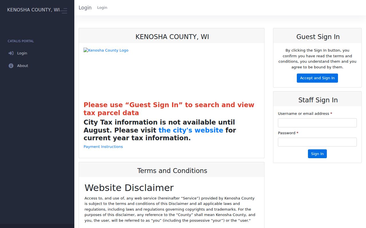
The screen is an entry point, not a title report. Record the query date and confirm a displayed owner through the latest deed.
Map Kenosha Streets and Parcels
Interactive Mapping adds place to the tax-card facts. The current viewer opens on parcels and lets a user click a feature, inspect its attributes, and switch layers. The cadastral service includes tax pins, dimensions, easements, rights-of-way, parcels, certified survey maps, condominiums, subdivisions, municipalities, and lots. Those layers can show why two addresses that look adjacent are legally separated or fall under different municipal control.
The legacy viewer documents a broader street-browse method. Enter House # and Street, or use Parcel #. Its buffer tool asks for a selection layer, a result layer, and a required distance in feet. Returned lists stop at 1,000 records, and a large buffer list may not match all features visible on the map. Keep the radius small when the goal is a block rather than all of Kenosha.
- Parcel
- A mapped tract with its own tax identifier.
- Situs address
- The physical address assigned to the parcel, distinct from the tax mailing address.
- Plat
- A recorded map that lays out lots, streets, and subdivisions.
- Criss-cross directory
- A directory arranged by street or address instead of surname.
The county GIS interface illustrates the address, parcel, and map controls used for a street search.
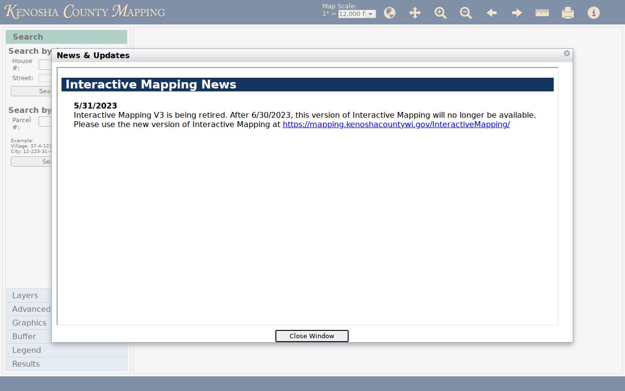
Parcel geometry is strong evidence of location, but it does not prove who occupies a home or amend a recorded deed.
Kenosha Street Directory Record Set
Kenosha address records span county portals, city forms, and archive shelves. Their search keys and time ranges differ. Use the table to choose the record that can answer the next narrow question, then preserve its limits with the result.
| Address source | Local keeper | Street evidence | Route |
|---|---|---|---|
| Property Inquiry | Kenosha County | Current roll, situs and mailing addresses, tax and building data | Public address or parcel portal |
| GIS cadastral map | County Land Information | Parcel geometry, municipality, nearby lots, easements | Public interactive viewer |
| Recorded instruments | Register of Deeds | Deeds, mortgages, liens, satisfactions, plats | LandShark; office for older or uncertain coverage |
| City permits and cases | Community Development and Inspections | Closed permits from 1993 and closed cases from 1998 | One request form per address |
| County permits | Planning and Development | Permit, project, property, and violation data | eTRAKiT by municipality |
| City directories | UW-Parkside, KPL, History Center | Historical occupants, firms, phones, and street sections | Online scan, library, or appointment |
The parcel key is the best modern join. For older material, the legal description and old-to-new street crosswalk are often safer than the house number alone. MyVote is designed for a voter's own information, while the full public voter-data route is the Wisconsin Elections Commission's Badger Voters service with statutory exclusions. Neither should be treated as a list of everyone at an address.
Follow Kenosha Addresses Into Deeds
Property Inquiry can point toward recorded documents, but LandShark holds the document chain. Save the legal description, instrument number, recording date, document type, grantor, and grantee. A grantor transfers an interest; a grantee receives it. Exact live labels and the online start year were not confirmed in the research, so older volumes or uncertain results should go to the Register of Deeds office.
Instrument type matters. A mortgage, satisfaction, easement, lien, or joint-property document can contain familiar names without representing a sale. The county specifically cautions that paying off a mortgage normally creates a satisfaction, not a new deed. Recorded-document copies cost $2 for the first page and $1 for each added page; a real-estate search is $7, and certification adds $1.
The LandShark search entry is the county's digital door to recorded real-estate instruments.
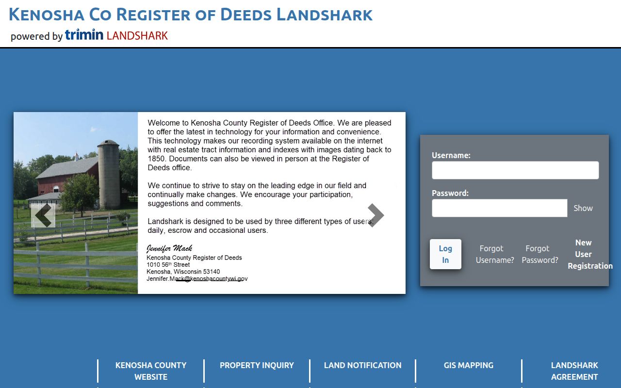
Use the portal image to recognize the service, then compare any hit with the parcel's legal description before adding it to a street directory worksheet.
Check Kenosha Street Permit Files
City building and code files fill gaps that a tax card cannot. The City of Kenosha property-record request is filed for one address at a time. It covers current permits and orders, closed building permits from 1993 forward, and closed building, zoning, or maintenance cases from 1998 forward. It can also request a conditional-use permit or site plan by date.
Send the form to Community Development and Inspections at 625 52nd Street, Room 100, by the route printed on the form. Copies are $0.25 per page. Staff search time may be charged when it reaches $50. For county jurisdictions, eTRAKiT offers public searches for permits, projects, properties, and violations. Municipality and permit type control which office has the file.
Note: A permit names a project or contact tied to an address; it does not prove that person lived at the property.
Translate Old Kenosha Street Names
Kenosha's 1926-27 renumbering is essential for historical address work. The 1927 New Street Numbering Section pairs old and new names and numbers. Strong Street became 65th Street, Warren Avenue became 24th Avenue, Washington Street became 4th Avenue, Superior Street became 28th Avenue, and Wisconsin Street became 58th Street. Each conversion should be checked against the scan rather than guessed from the modern grid.
The scan even labels Third Avenue as formerly Durkee Avenue and prints old and new house numbers with names. That makes the crosswalk a direct bridge between a newspaper clipping, a city directory entry, and a modern parcel. Keep both address forms in the research notes. Never replace the original wording.
Avenues and courts generally run north to south, while streets and places generally run east to west. The county describes roughly 100 numbers per block. That pattern helps catch a transposed street and avenue, but GIS remains the authority for the parcel.
Address authority also changes by municipality. City Neighborhood Services handles City of Kenosha questions, while Pleasant Prairie, Twin Lakes, Paddock Lake, Salem Lakes, and county townships route assignments through their own named offices or County Land Information. Confirm the municipality before requesting a correction.
Reverse Kenosha Directories by Street
A reverse, or criss-cross, section begins with an address and returns a printed occupant, subscriber, or firm. It is the historic counterpart to modern by-address search. UW-Parkside lists Kenosha directory runs from 1858 through 2007, with many gaps and an explicit missing 2004 volume. Read the closest available year, then check the entries just above and below the target address.
The full shelf, year runs, and entry-reading method belong to the Kenosha city directories collection. For street work, record only what the chosen volume prints: edition, page, name, address, directory section, nearby entries, phone or business line if present, and any old/new equivalence. A printed occupant is not automatically the deed owner.
Add Maps to Kenosha Street Research
The county Survey Viewer can explain a lot split, boundary shift, or changed legal description. Not every existing survey was filed, so a failed search means only that one was not located. A newly divided parcel may take about two to three weeks to receive a tax key, while Property Inquiry updates nightly. Recent deeds and current parcel data can briefly disagree.
For older city blocks, the Library of Congress holds a verified 1918 Sanborn set with 64 Kenosha sheets. Each sheet can show an intersection, structure footprint, use, and nearby features that the modern tax portal cannot. Sanborn maps explain physical context, not ownership. Pair the sheet number with a directory year and recorded plat.
Local tip. Preserve the map sheet, survey number, parcel key, legal description, and query date so later street directory checks can reproduce the match.
Limits of Kenosha Street Records
No official Kenosha street directory lists every person in each home. Property records focus on parcels and owners. A city directory may record a subscriber, firm, or selected occupant. The voter systems exclude confidential and protected records, and ballots are private. Wisconsin Safe at Home and confidential-elector rules can also prevent a true residential address from appearing.
A mailing address, ZIP code, directory occupant, tax-card owner, and deed grantee are separate facts. Keep each label intact. For a single modern person, shift to the Kenosha resident lookup workflow and verify identity through the proper custodian rather than inferring a whole household from one address hit.
Lawful use. Kenosha address records are for lawful personal research, civic transparency, family history, and property questions. Never use them to stalk, harass, threaten, or harm anyone.